Looking for a world map with names to print? Or a political world map? Look no further! On MundoMapa you will find world map to print along with a wide variety of options in high quality.
👇 A sneak peek of the high-quality world maps (JPG and PDF) you’ll find.


Political world map

World map to print
If you need a good quality map or a world map to print pdf, you have come to the right place because you will find planispheres in excellent resolution so you can use it both for school or decorate your room.
🔥 The best in maps? Offer on premium maps Explore our selected maps. 🚀


If you want to learn how the internal and external territory of each country is divided politically, this is the indicated map since you can find different models of political world maps with names, including other relevant data on the geography of the globe.
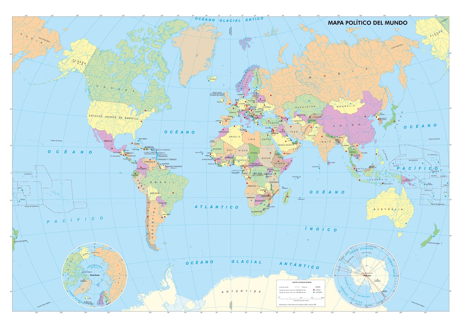
Silent map
Also called black and white maps, these models are more didactic and educational for children, since they are the perfect instrument for learning geography. Here we leave you a mute world map model to print and get started.
🔥 The best in maps? Offer on premium maps Explore our selected maps. 🚀
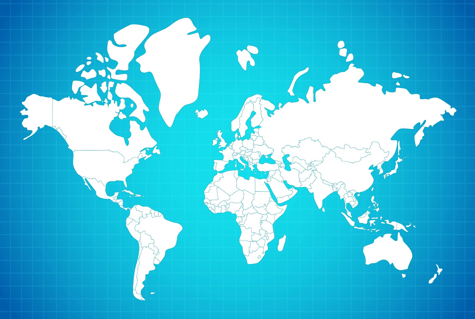
Silent color planisphere
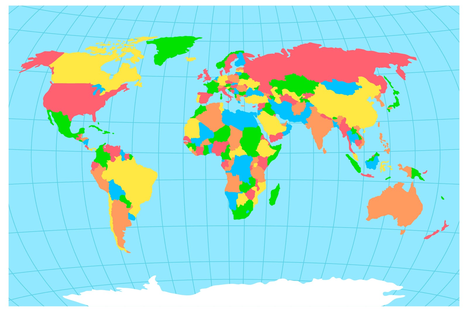
When the silent world map includes divisions, it is possible to find it with different colors to mark the differences between the countries, while the silent world maps without divisions will never include colors.
Map of the silent world in colors where it will serve to teach better and to print.
If you like the modern map styles of our website you can see our page with the maps of Europe or South America .
World map with names
Political world maps with country names should be as up to date as possible, as countries tend to split or unify as Serbia and Montenegro, for example. The more recent the globe, the more accurate the information:
🔥 The best in maps? Offer on premium maps Explore our selected maps. 🚀
– Cities: They may not bring the internal divisions of the country, but mention relevant cities, they tend to be state capitals.
– States: They include the internal divisions of each country, but do not always include their names.
– Relief: Some include color gradations to show the altitude of the land of each country or its vegetation.
– Oceans: You can include information on ocean currents and how they reach each continent and sea of each country.
– Winds: Explains and details the air currents that travel around the globe.
To contain exact data of each fact, the world map requires a recent update, so it is recommended to look for a current model. In addition, the more information it contains, the more useful it will be for learning.
Political world map with flags
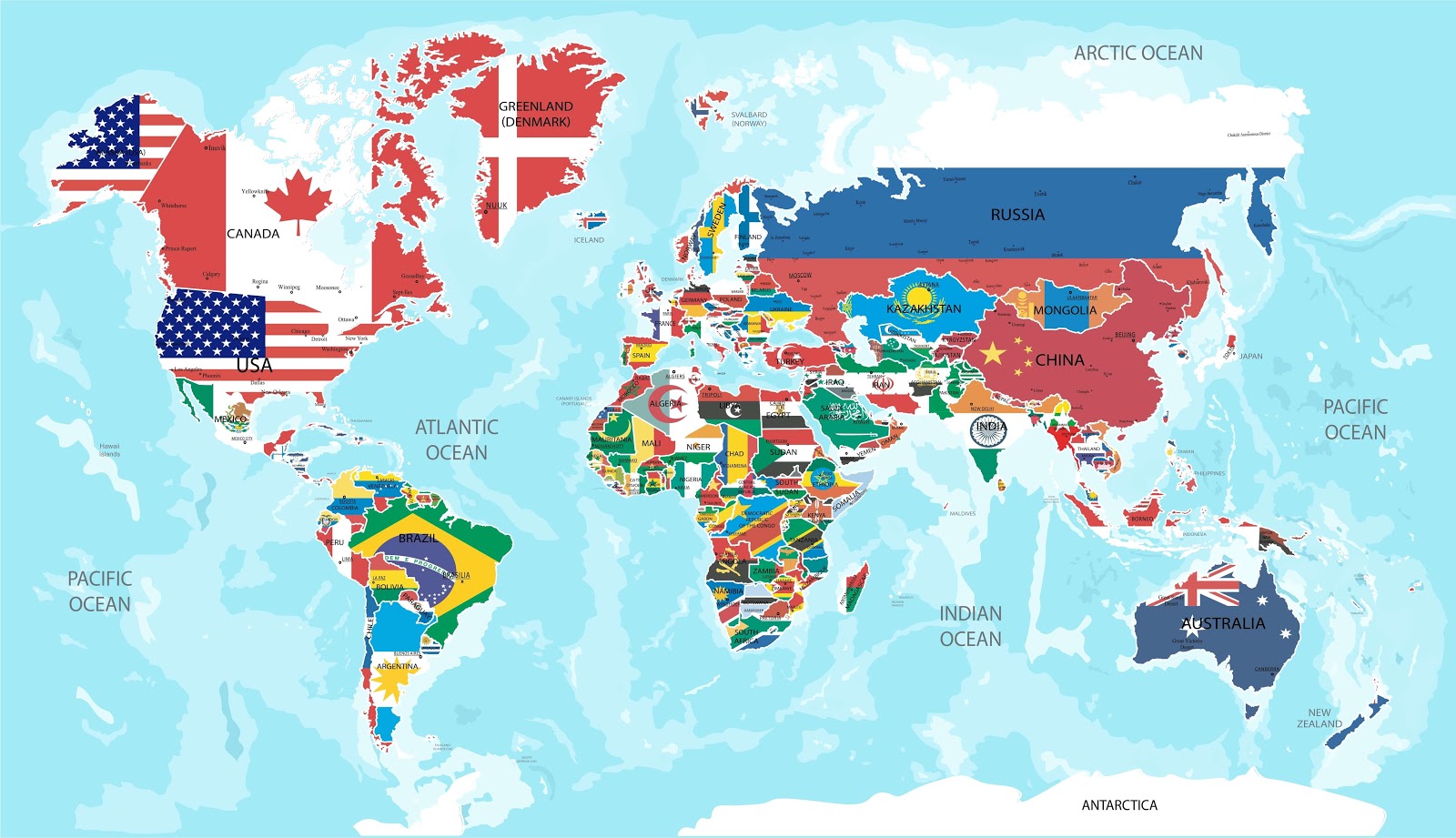
Here I leave you a world map with the flags of each country as an extra to the political world map.
Physical World Map
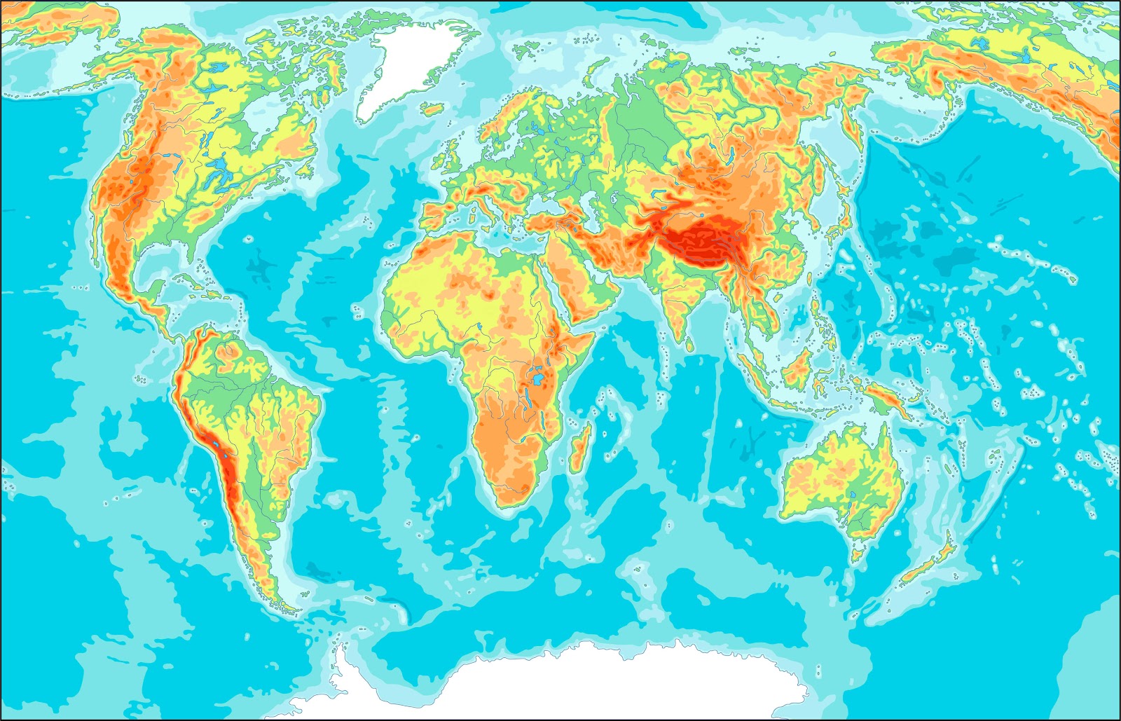
The physical planisphere shows the relief of the world’s terrain with geographical features, oceans, seas, rivers and the boundaries of major countries shown as white lines. It includes the names of the world’s oceans and the names of the main bays, gulfs and seas. Lower elevations are shown in dark green with a gradient from green to dark brown to gray as elevation increases. This allows the main mountain ranges and lowlands to be clearly visible.
🔥 The best in maps? Offer on premium maps Explore our selected maps. 🚀
This map is also a Mercator projection centered on Europe and Africa. A mile scale is not shown on these maps because the scale changes with distance north and south of the equator. The scale is greatly exaggerated as the distance from the equator increases.
Real world map
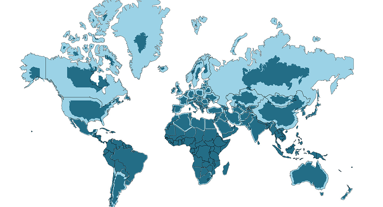
As we have explained the Mercator map is the most used but the real size of the countries closest to the poles varies due to the special shape that the Earth has.
On the world map below we show you the real size of the countries in dark blue and in light blue the size with which they appear in the Mercator projection.
If you want to check more country sizes, we leave you a very interesting page where you can compare the real sizes of the countries.
The True Size Web
How to print a map of the world?
How can I print maps for free?
How can I print a large world map?
How do I create a custom printable map?
To conclude
We come to the end of the article! We hope we have provided you with useful and practical resources to help you with what you needed.
If you liked the content, we’d love to hear from you. Has this helped? Do you have any suggestions or comments? Do not hesitate to leave it in the comments so that we can continue to improve and offer you the best in the future. We hope to read you soon!


Wow…fantastic resource. Was asked to see if I could find a printable world map and this came up.
Thanks for this.
Hi Angela, thank you so much for your kind words! We are thrilled to hear that our maps are a useful resource for you. Happy printing!
im try to loooling for tizme zion maple 148 maple wood driver lawrenceville georgia 30046
Hi Tamara! It sounds like you are looking for a Time Zone map. You can find our printable world maps here on the site. Please keep in mind that we only provide digital files for download; we do not send physical copies to residential addresses. Best regards!